'Strong storms': Clear warning from Jorge Rey for the coming hours in Spain
According to Jorge Rey, heavy rains and storms will mark the beginning of the week in several areas of the country.
Bad weather returns to Spain with force in the western half of the country, according to Jorge Rey. A new front of rain has already begun to affect the north and will move in the coming hours. Today's day will be marked by precipitation in some regions of the Peninsula, with snow at high altitudes.
Jorge Rey has warned about the evolution of the storm with a video published a few hours ago on his YouTube channel. According to his forecasts, instability will increase throughout the day. The precipitation, which has already brought rain to Asturias and Galicia, will continue moving south and west.

Jorge Rey points out that today snow will be seen at high altitudes
The young meteorology enthusiast has pointed out that the rain "will affect the entire western half of the country." This means that communities like Castilla y León, Extremadura, and western Andalusia will see precipitation throughout this Sunday.
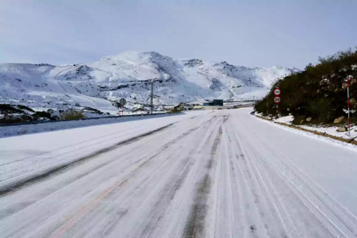
As for the snow, it is expected to make an appearance in several provinces, according to Jorge Rey. León, Burgos, Segovia, Ávila, and Salamanca could receive flakes, although weakly in some areas. The snow level will be high, so it will only be seen in mountainous areas.

"Storms that could be locally strong," Jorge Rey's alert for tomorrow
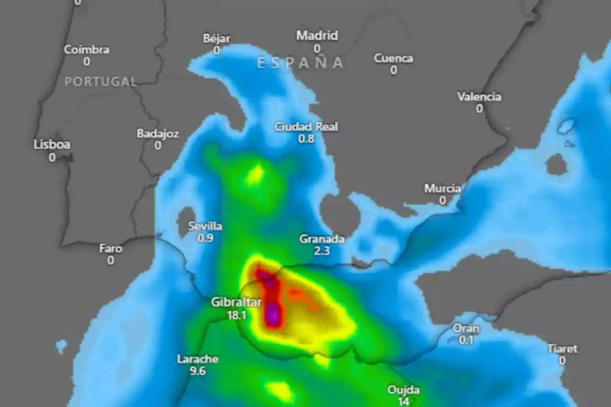
The rain won't end today. For tomorrow, Monday, February 3, Jorge Rey has warned that "early in the morning, we still expect some storms that could be locally strong in areas of the Strait or Málaga." Caution is recommended in these areas, as the precipitation could be intense.
This forecast by Jorge Rey coincides with that of AEMET. The agency indicates that instability will focus on the Alboran Sea. Málaga, Granada, Almería, and Melilla will be the areas most affected by strong and persistent rain during the early hours of tomorrow.

Beyond the immediate storm, next week will bring a change in trend. "Next week, in general, will be marked by the sun and also by a drop in temperatures," Jorge Rey explained.
The forecasts indicate that, with the withdrawal of the rain, temperatures will fall in several regions. In the north and Balearic Islands, however, a slight thermal rise is expected.
The wind will be another important factor to consider starting tomorrow. In the Strait of Gibraltar and the Alboran Sea, gusts will be intense. In the northeastern peninsula, the tramontana will blow strongly in the Ampurdán.
🟡ALERTA METEOROLÓGICA: Lluvias REPENTINAS; Ola de AIRE FRÍO ☔🥶
In the Canary Islands, the trade winds will continue to be prominent, especially in the north of the more mountainous islands. There, cloudy skies with rain are expected in elevated areas.
However, the calm will be temporary. "By the end of the week, instability will return, and we may talk about snowfalls again," Jorge Rey pointed out. A new front could bring more rain and cold to the Peninsula toward the end of next week.
More posts: