Snowfall alert worsens for tomorrow: more areas under warning, Saturday too
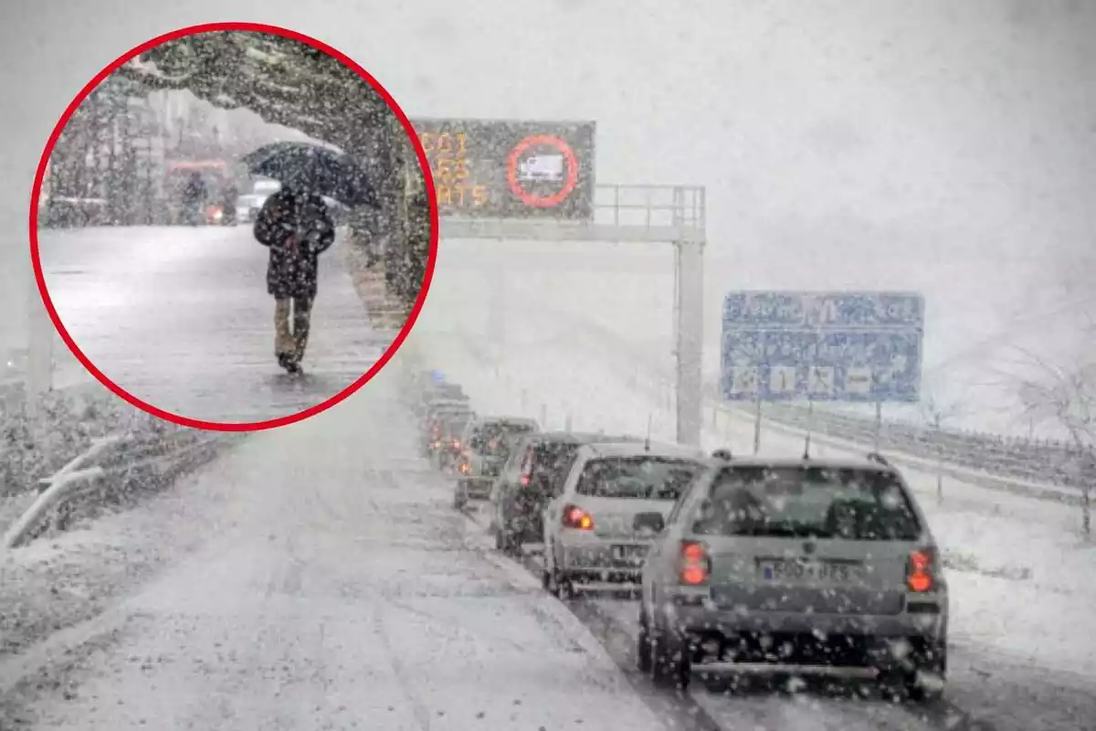
This Friday the weather will take a significant turn, and snowfalls will be prominent in many areas of Spain.
The State Meteorological Agency (AEMET) has reported that, during tomorrow, various alerts will be activated in several Spanish communities due to the intense snowfalls forecasted. Although some regions had already been warned, the forecasts have been updated, and now more territories could be affected.
Additionally, some of these alerts will extend until Saturday morning, maintaining the risk situation in different parts of the country.

Snowfalls in the northern and central peninsula: significant accumulations
According to the latest forecasts, snow will make an appearance in numerous areas of the northern half of the peninsula, where significant accumulations are expected, especially in the northern third. Additionally, snowfalls at lower altitudes in the northern plateau and various mountains in the southeastern peninsula are not ruled out.
The snow level will fluctuate between 900 and 1200 meters (2953 and 3937 feet) in most of the northern half. In the far north, it could drop to 700 meters (2297 feet), increasing the likelihood of snow affecting inhabited areas and key infrastructures. In the southern half, the level will remain higher, ranging between 1200 and 1500 meters (3937 and 4921 feet).
Affected regions and most critical points
AEMET has activated yellow warnings for snow in several autonomous communities, especially those located in the north and northwest of the country. Aragón, Asturias, Cantabria, Castilla y León, Catalonia, Navarra, La Rioja, Madrid, and Castilla-La Mancha will be affected by these snowfalls, with a special impact on their mountainous areas.
The most affected areas include the Cantabrian Mountains, specifically in León, Palencia, and Asturias, where snow accumulation could reach significant levels. Areas such as the Liébana region and the center and Villaverde valley in Cantabria will also be affected. The Sierra de Madrid, as well as the Serranía de Guadalajara, will be other points under warning.
In the Pyrenees, snow will be noticeable in its area of Huesca, Navarra, and Catalonia, as well as in the Aran Valley in Lleida, where accumulations could be considerable. In the Iberian area, Burgos, Soria, and La Rioja will also experience significant snowfalls.

Accumulations of up to 15 cm (5.9 inches) and alerts until Saturday
One of the most relevant data of this forecast is the amount of snow that could accumulate in some points. In the Pyrenees, AEMET warns that up to 15 cm (5.9 inches) of snow could be recorded in 24 hours.
Additionally, the alerts will not be limited to Friday. In some northeastern territories, snowfalls will continue during the early morning and Saturday morning. AEMET has decided to extend the yellow warnings until noon in points of the Pyrenees.
The most significant accumulations on Saturday are expected in the Pre-Pyrenees of Barcelona, the Pyrenees of Girona, the Pyrenees of Lleida, Navarra, and the Aran Valley. Accumulations of up to 15 cm (5.9 inches) in 24 hours could be reached again.

Recommendations in the face of the snowstorm
In this adverse weather situation, authorities recommend exercising extreme caution, especially for those planning to travel by road. It is essential to be informed about the state of the roads before embarking on a journey and to carry chains or winter tires in the vehicle.
In mountain areas and those where the largest accumulations are expected, it is recommended to avoid unnecessary travel. Instructions from Civil Protection and the General Directorate of Traffic (DGT) should be followed.
More posts: