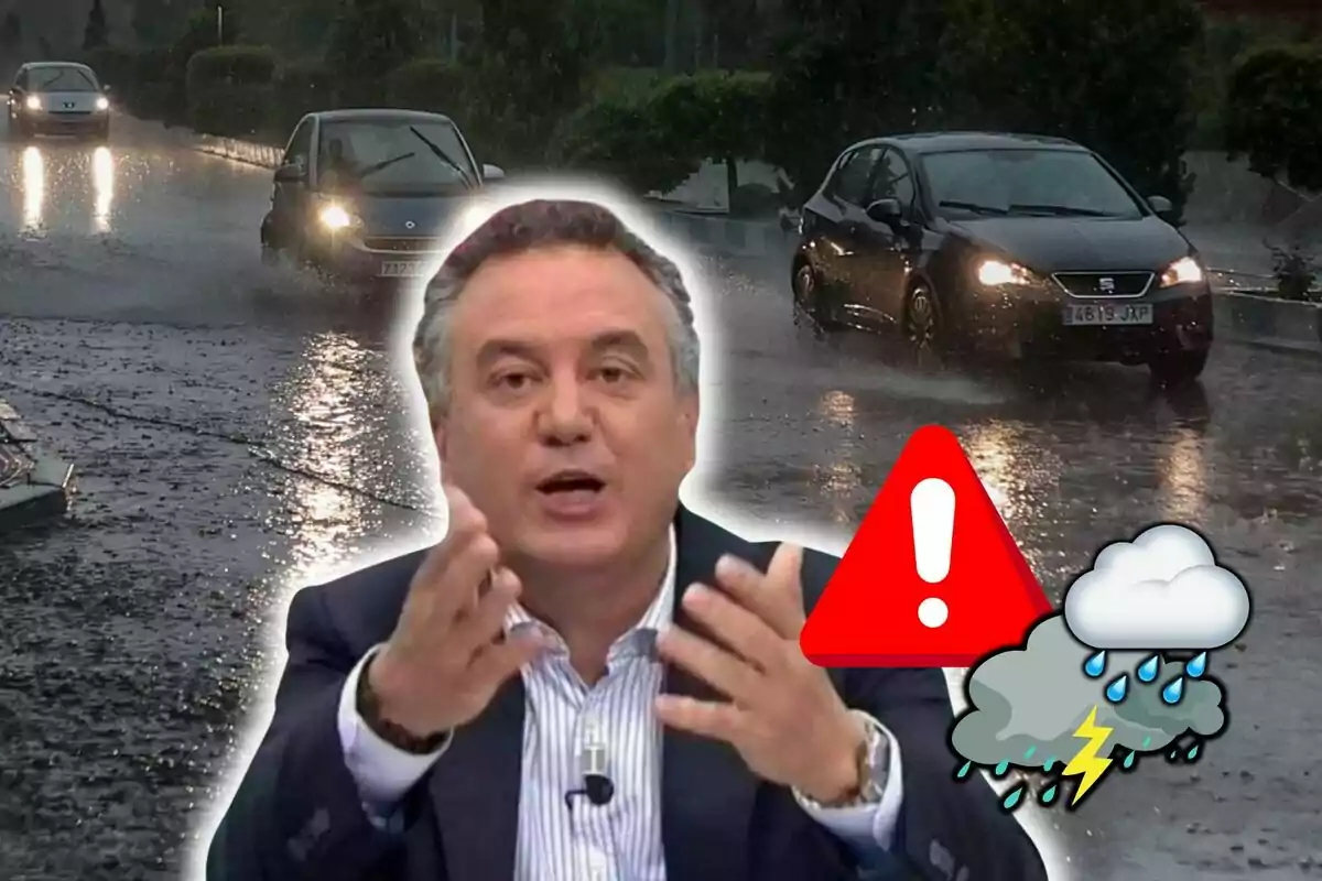
Roberto Brasero had warned it: rain and snow in these areas in the coming hours
Throughout today, several areas will be affected by some rain and also by certain snowfalls.
This last day of the week, some areas of Spain still aren't free from rain and snow. According to meteorologist Roberto Brasero, a front coming from the western peninsula will begin to enter today.
This brings with it new precipitation that will mainly affect Galicia and the Cantabrian region. Additionally, it can't be ruled out that it will reach territories of Castilla y León and the central area of the country, where it could intensify as the day progresses.

This front announced by Roberto Brasero will add to the atmospheric instability that has already left its mark in previous days. It will continue raining and, also, it will continue snowing in some areas.
Snowfalls in the northwestern mountains
Meteorologists like Roberto Brasero have anticipated that this front could bring new snowfalls to the northwestern mountains. Especially in the west of the Cantabrian mountain range. There, the snow accumulations could be significant.
As the front advances, the snow level will drop from 1600-1400 meters (5249-4593 feet) to between 1000-800 meters (3281-2625 feet). This will mainly affect mountain areas like Sanabria, in Zamora, and other areas near the Central System. In these areas, the snowfalls could be locally intense, with snow accumulations that will hinder transit.

Additionally, AEMET has confirmed that this front could also bring snow precipitation in Mallorca, especially in the island's mountain range. In this case, the snow level will be between 1200 and 1400 meters (3937-4593 feet). This could generate some surprise, as snowfalls on the island aren't very common.
Mediterranean storm with rain in the Balearic Islands and Melilla
Meanwhile, Roberto Brasero says, the storm formed this Saturday in the Mediterranean will mainly affect the Balearic Islands and the autonomous city of Melilla today. In the Balearic Islands, showers are expected that could be intense, especially in Mallorca and Menorca.

In Melilla, the rain could be more persistent, affecting mainly Saturday and, to a lesser extent, Sunday. Although the intensity will be moderate, it's likely that significant rain accumulations will occur in a short time.
The uncertainty about the evolution of the fronts and storms still exists, so it's essential to follow meteorological updates. Authorities recommend caution, especially in mountainous areas, where snowfalls could complicate traffic conditions, especially on secondary roads and mountain passes.
It's advisable to be prepared for the inclement weather and follow AEMET alerts, as the weekend could bring more meteorological surprises.
More posts: