'Snowfalls in...': Roberto Brasero confirms how much the levels will drop next weekend
The snow won't fall as intensely as in recent days, but it seems it can still reach several areas.
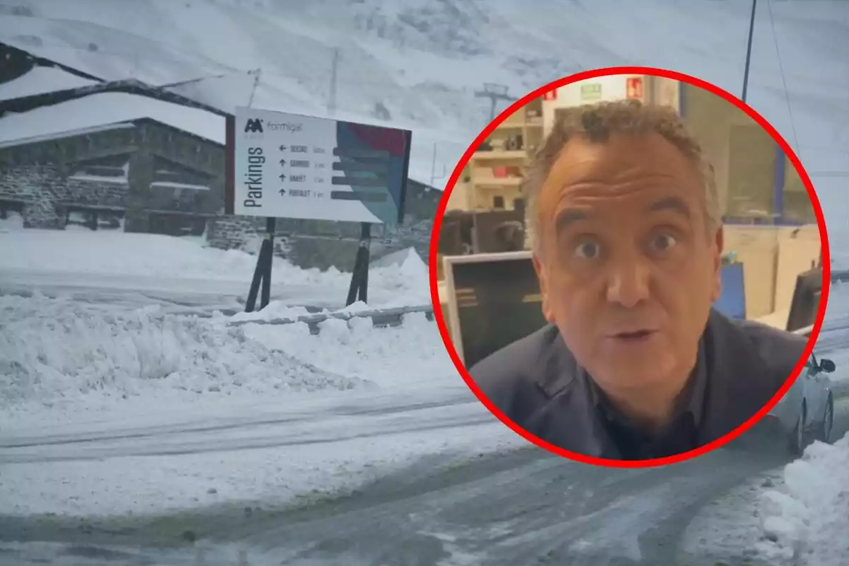
The intense snowfalls that covered much of the country in white last Thursday won't be repeated with the same intensity in the coming days. However, this doesn't mean that the snow will disappear entirely. According to meteorologist Roberto Brasero, snowfalls will continue to appear in mountainous areas, especially in the northeastern quadrant of the peninsula and in the Balearic Islands.
The change in trend will be marked by the consolidation of a high-pressure system, which will gradually gain ground and stabilize the weather in most of Spain. As the weekend progresses, rain will be restricted to the Balearic Islands and the far north. Clear skies will prevail in the rest of the territory.

Saturday snowfalls continue: Roberto Brasero says where
The first Saturday of February will start with a calmer outlook in most of the country, announces Roberto Brasero. Even so, locally heavy showers are expected in the Balearic Islands, as well as precipitation in Catalonia, northern Aragon, and the Basque Country.
Regarding the snow, accumulations will remain significant in the mountains of the northeastern quadrant of the peninsula and on the island of Mallorca. The snow level will range between 1000 and 1200 meters (3280 and 3937 feet), although in the pre-Pyrenean area it could drop to 600-800 meters (1968-2625 feet). Roberto Brasero makes it clear that snowfalls will be especially intense on the northern face of the Pyrenees.

Meanwhile, the wind will tend to calm down and the clear skies will allow a sharp drop in nighttime temperatures. As a result, frosts will spread across wide areas of the interior of the peninsula.
Sunday: a new front arrives from the west bringing more snow
Roberto Brasero also warns that Sunday will bring changes in the weather situation. An Atlantic front will enter from the western peninsula, bringing rain to Galicia and the Cantabrian region. It is not ruled out that these precipitations could extend to Castilla y León and the central area.

There is some uncertainty about the evolution of this front, but models suggest that it could bring new snowfalls in the mountains of the northwest. The snow level will start high, around 1600-1400 meters (5249-4593 feet), but will gradually drop to 800-1000 meters (2625-3280 feet). This could result in a new episode of snowfalls in parts of the Cantabrian Mountains and high areas of the Central and Iberian systems.
Roberto Brasero is clear: winter continues to leave its mark
Although the episode of heavy snowfalls has come to an end, winter is still present and won't give a break in some regions. Snowfalls will continue to affect the mountainous areas of the north and east. Additionally, the arrival of the front that Roberto Brasero announces for Sunday could bring new precipitation and, depending on how it evolves, return snow to relatively low levels in the northwestern peninsula.
More posts: