Neither snow nor rain: Roberto Brasero warns of the worst that tomorrow's storm brings
Extreme cold will put several regions of Spain on alert with temperatures that could reach -10°C, according to Roberto Brasero.
Winter doesn't relent and the cold will once again be the main protagonist in Spain. Although precipitation and snow may be protagonists in some areas, the real problem won't come from the sky. Roberto Brasero has already issued his warning, and the State Meteorological Agency (AEMET) agrees with him.
Tomorrow, Sunday, February 2, minimum temperatures will plummet in several regions and will lead to frost. Some areas will wake up with sub-zero values that will make the wind chill even more extreme. In the Pyrenees, the frost will be especially harsh, reaching -10°C (14°F) or even more.

An Atlantic front will bring frost to several regions of Spain, according to Roberto Brasero
The origin of this front is a storm located in Iceland. This phenomenon will generate a small secondary storm in the Cantabrian Sea, which will move from the west of the Peninsula. Its impact, however, will be moderate.
Precipitation will be present in the western half of the country, but it will generally be weak. In many areas, cloudiness will be more notable than the rain itself, so significant accumulations are not expected.
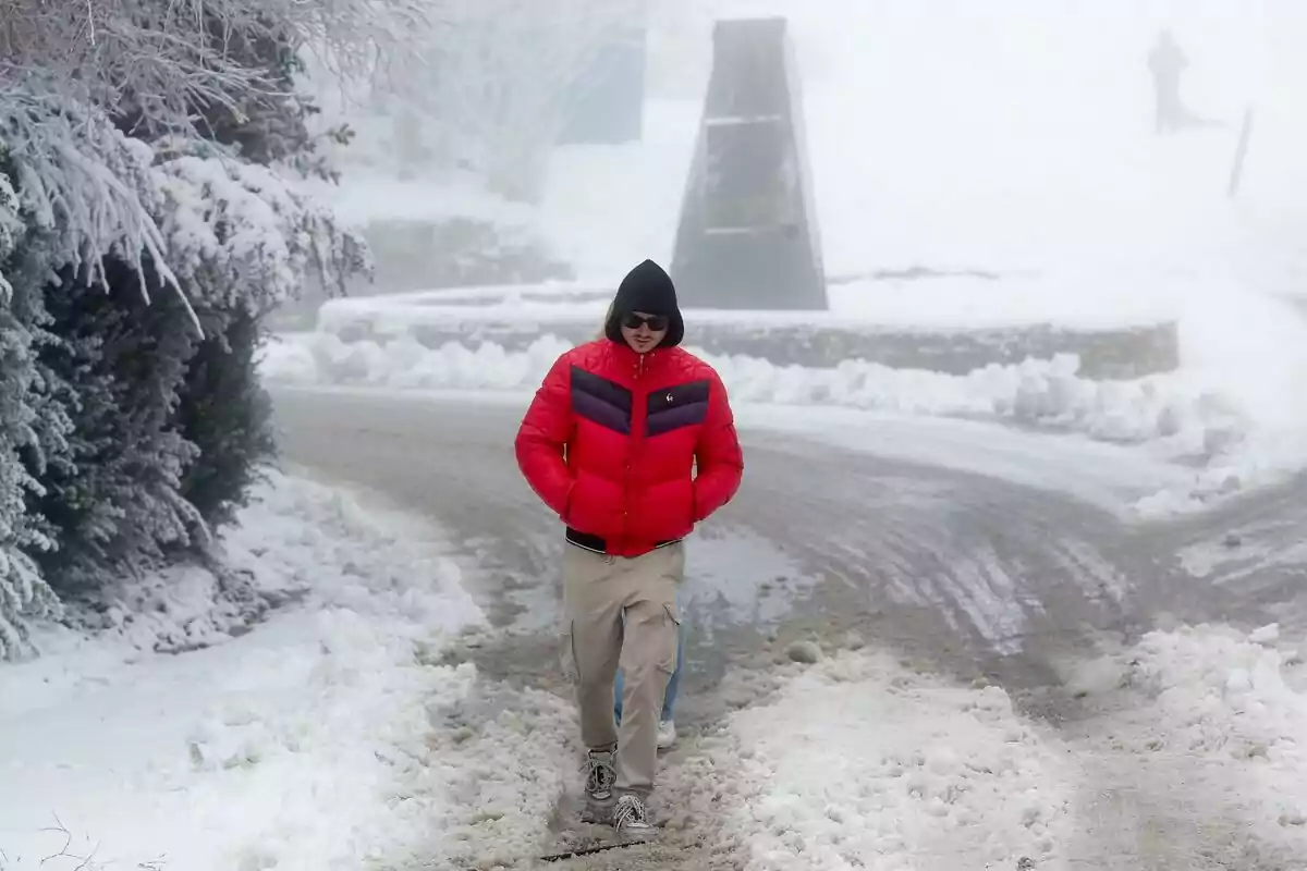
Snow will make an appearance in some mountain areas, a fact that Roberto Brasero already warned about. In the Cantabrian Mountains, significant accumulations are expected in its western part. The snow level will be above 1200 meters (3937 feet) in the Pyrenees and 1300 meters (4265 feet) in the rest of the affected areas.

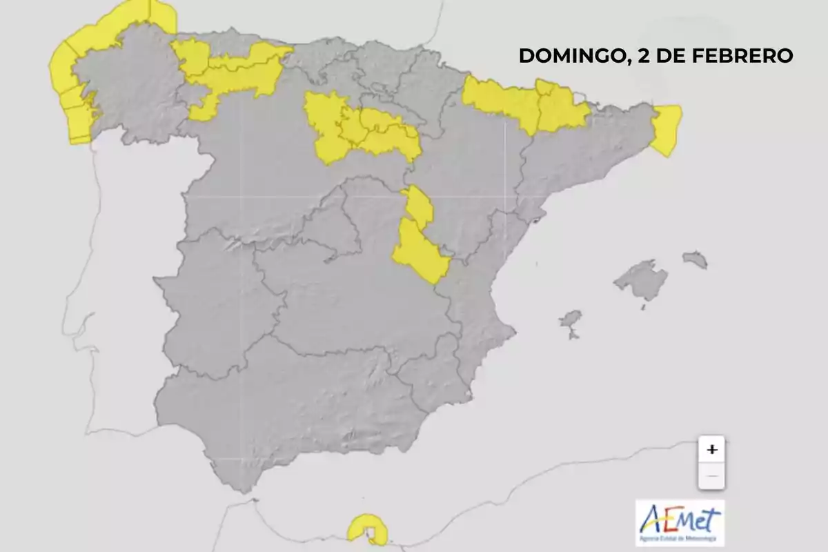
AEMET activates alerts for extreme cold
Low temperatures are the real threat on Sunday. AEMET has activated warnings in seven autonomous communities due to the intensity of the cold. In Aragón, Castilla y León, Catalonia, and La Rioja, minimums will drop to -6°C (21°F) in provinces like Huesca, Burgos, Soria, Lleida, and La Rioja.
In the Pyrenean area, the situation will be even harsher. Frost will reach values of up to -10°C (14°F), complicating mobility and increasing the risk of ice patches on roads and paths. "We will wake up with frost, especially in the Pyrenean area, where it will be -10°C (14°F)," notes Roberto Brasero.
Besides the cold, snow will require caution in some regions. Castilla y León and Asturias are on alert for accumulations of up to 5 cm (2 inches) in 24 hours. At higher altitudes, the figure could exceed 10 cm (4 inches).

But this storm won't only affect the interior of the country. The coast will also suffer the consequences, with active warnings for coastal phenomena in several areas.
In Catalonia, the province of Girona will experience north winds of between 50 and 60 km/h (31 and 37 mph), reaching force 7 in some areas. This wind will cause waves of between 2 and 3 meters (6.5 and 9.8 feet).
In Galicia and Melilla, the situation will be similar. Adverse maritime conditions will keep these regions on alert, requiring extreme caution on the coast.
Tomorrow's storm won't bring torrential rains or heavy snowfalls at low altitudes, but it will leave freezing temperatures and a marked winter atmosphere. In some regions, the cold will be the main challenge of the day.
More posts: