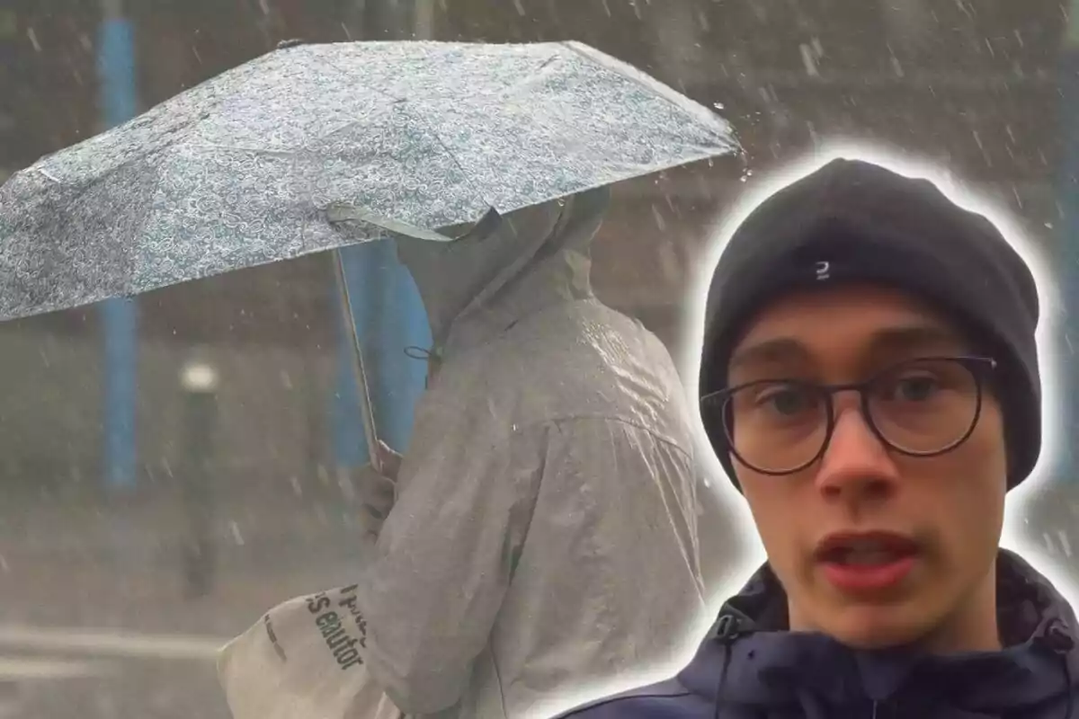
Jorge Rey Brigns Good News: The Shift in Weather We will Notice Starting Today
Starting this Monday in almost all of Spain, an important change will be noticeable and many will appreciate it
After a week marked by intense cold in much of the country, the coming days will bring a notable change in temperatures. Although experts have announced the arrival of new rains and snowfalls, there is another factor that Jorge Rey has highlighted. Something that we will feel in almost all of Spain and that many will appreciate.
Jorge Rey Says What Will Happen Starting Today
Last week's winter temperatures are starting to ease. According to Jorge Rey, starting this Monday, the highs will rise in the north, and the lows will increase in almost the entire Peninsula. This will make the nights not as cold as in previous days.

Therefore, a relief from the most intense cold of the previous days in Spain is arriving. Even so, in mountainous areas, frosts will continue to occur, although less intense than in previous days.
This thermal rise will make the sensation of extreme cold soften, allowing many areas of the country to enjoy a somewhat more bearable climate. However, this doesn't mean that we are leaving winter behind: It will still be cold, but without reaching the freezing values of last week.
Despite this rise in temperatures, winter remains the protagonist. Experts recommend not to be complacent and to continue wearing warm clothing, especially at night and in mountainous areas, where the cold will remain intense.
Instability is Not Leaving: Rain and Snow in Several Regions
Despite the rise in temperatures announced by Jorge Rey, winter is still present in Spain, especially concerning atmospheric instability. Meteorological models indicate that this week will be joined by new precipitation in different areas of the country, mainly in the northern and western peninsular regions.
As for the snow, it will continue to appear in the mountains, although at a higher altitude, which means that snowfalls will be less widespread. Jorge Rey says that snow is expected to accumulate mainly above 5,249 ft. (1,600 meters).

Additionally, fog is not ruled out in some deeper areas, especially in the northern sub-plateau. The latter could hinder visibility on roads during the early hours of the day.
Wind and Variations in Thermal Sensation
Another factor to consider this week will be the wind. Although it will be light in the interior, it will blow with greater intensity in coastal areas, which could increase the sensation of cold in some areas. In the Canary Islands, the trade winds will continue to mark the weather, with the possibility of some haze at certain times.
More posts: